

Pipeline Analytics
Suite 207
Pittsburgh, PA 15205

Pipe Inspection Software maps data for complete analysis.
Available for WinCan(TM) v8, WinCan(TM) GIS aids management of water, stormwater, and sewer infrastructure using GIS data. Map can be used to create entire project with pre-populated section data, and functionality also allows automatic creation of linked map elements from observations. Users may also plot observations into GIS as point features with links to videos and photos, augment GIS data...
Read More »
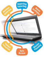